New online geospatial tech certificate could be your map to more
The Department of Geography and Geosciences in the University of Louisville College of Arts and Sciences now offers an online Certificate in Applied Geospatial Technologies.
You may be wondering, what does a certificate in applied geospatial technologies even mean? You don’t have to look far to see the presence of this field in your everyday life: GPS navigation, geo-tagging on your social media posts, tracking your Uber driver while on route to pick you up, and more. Geospatial tech is quite literally around you all the time–whether you know it or not.
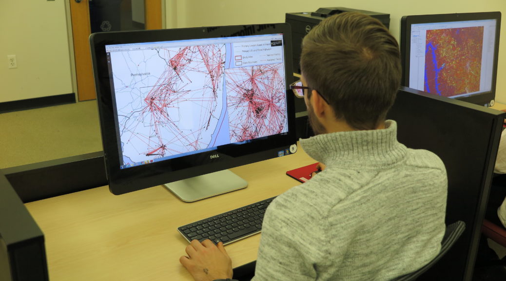
Technology in this space is advancing at a rapid pace. This certificate program will give an in-depth understanding of how to apply techniques of geographic information science (GIS) to collect, view, manipulate and analyze digital geographic data for a deeper understanding of the world around us.
You’ll also get hands-on experience using ArcGIS software and learn how to connect data sets to landscapes and communities. As a student in this program, you will gain the expertise needed to provide insights about real-world environmental conditions and social problems.
Put your career on the map with a Certificate in Applied Geospatial Technologies from UofL. The skills you can acquire in computing, problem-solving and project management could bridge the distance between where you are and where you want to be.